Latest Version
Update
November 21, 2024
November 21, 2024
Developer
Glacier Peak Studios LLC
Glacier Peak Studios LLC
Categories
Maps & Navigation
Maps & Navigation
Platforms
Android
Android
Downloads
0
0
License
Free
Free
Package Name
co.topomaps
co.topomaps
Report
Report a Problem
Report a Problem
More About Topo Maps+
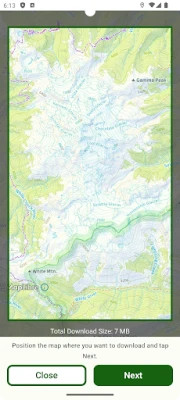
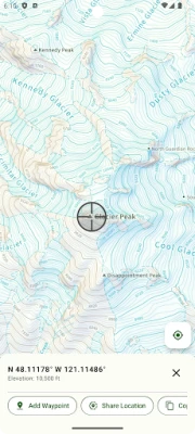
Designed and tested on real dirt, Topo Maps+ is packed with the maps & tools to plan and execute your backcountry adventure.
‣‣ MAPS FOR EVERY ACTIVITY
‣Setup your map based on your planned activity
‣‣ PLANNING TOOLS
‣ Compare and Download maps for use offline.
‣ Combine overlays to customize your map view
‣ Smart route-building tools
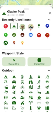
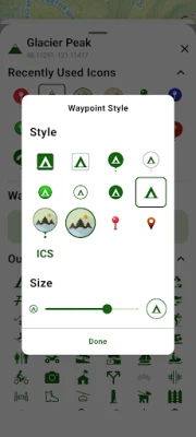
‣ Waypoints
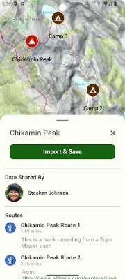
‣ Print, email or share custom maps and route
‣ Create teams and share data
‣‣ ON-TRAIL TOOLS (Offline)
‣ View your current location
‣ All Maps and Overlays are downloadable
‣ Record your tracks - see where you’ve been
‣ Downloaded elevation data for route-creation on the trail
Rate the App
Add Comment & Review
User Reviews
Based on 0 reviews
No reviews added yet.
Comments will not be approved to be posted if they are SPAM, abusive, off-topic, use profanity, contain a personal attack, or promote hate of any kind.
More »


Popular Apps

phpFoxPHPFOX LLC

Govee LiteGovee

Build World AdventureExplore city in cube world

World War Heroes — WW2 PvP FPSAzur Interactive Games Limited

Viking Clan: RagnarokKano Games

Vikings: War of ClansPlarium LLC

Submarine Car Diving SimulatorSwim with dolphins & penguins

Asphalt 9: LegendsGameloft SE

Union VPN - Secure VPN ProxyPureBrowser

FastRay Fast VPN Proxy SecureFast VPN Proxy Vless & Vmess
More »


Editor's Choice

Grim Soul: Dark Survival RPGBrickworks Games Ltd

Craft of Survival - Gladiators101XP LIMITED

Last Shelter: SurvivalLong Tech Network Limited
Dawn of Zombies: Survival GameRoyal Ark

Merge Survival : WastelandStickyHands Inc.

AoD Vikings: Valhalla GameRoboBot Studio

Viking Clan: RagnarokKano Games

Vikings: War of ClansPlarium LLC

Asphalt 9: LegendsGameloft SE

Modern Tanks: War Tank GamesXDEVS LTD

