Latest Version
Version
1.5
1.5
Update
January 15, 2025
January 15, 2025
Developer
Education point
Education point
Categories
Education
Education
Platforms
Android
Android
Downloads
0
0
License
Free
Free
Package Name
com.educationpoint.usstatemap
com.educationpoint.usstatemap
Report
Report a Problem
Report a Problem
More About US States Map
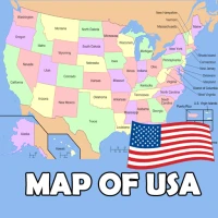
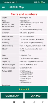
The United States of America is located on the North American Continent. The United States is bordered by the Pacific Ocean on its west coast, the Atlantic Ocean on its east coast, Canada to the north, and Mexico to the south.
The United States is a big country, and it definitely takes more effort to learn the US geography, US capitals, US states & American flags compared to other countries. Whether you're a high school student or just a curious learner, our US geography quiz 50 States will help you master US capitals, states, flags & US maps.
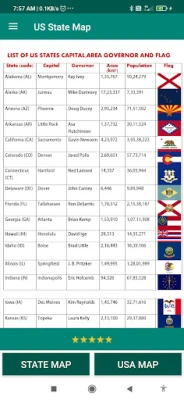
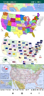
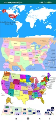
US States map contains information about all 50 US states, capitals, the state flag, and wiki links to know more about the state.
Capital Cities:- Via this Atlas app for Map Of USA you can get search for the Capital Cities of each state.
Must have mobile app features include:
50 us states map with capitals names
map of USA with states
u.s. states and capitals
united states map with cities
map of the USA with states and major cities' names
us atlas
American atlas
atlas of the united states
blank us map
political map of USA
us regions map
USA in world map
us river map
United states elevation map
topographic map of us
united states road map
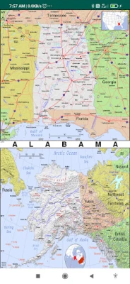
This physical map of the US shows the terrain of all 50 states of the USA
List of States:
the map of Alaska, Washington dc on us map, Chicago map USA, Washington map USA, map of united states of America and Canada,
Alabama, Arizona, Arkansas, California, Colorado, Connecticut, Delaware, Florida, Georgia, Hawaii, Idaho, Illinois, Indiana, Iowa, Kansas, Kentucky, Louisiana, Maine, Maryland, Massachusetts, Michigan, Minnesota, Mississippi, Missouri, Montana, Nebraska, Nevada, New Hampshire, New Jersey, New Mexico, New York, North Carolina, North Dakota, Ohio, Oklahoma, Oregon, Pennsylvania, Rhode Island, South Carolina, South Dakota, Tennessee, Texas, Utah, Vermont, Virginia, Washington, West Virginia, Wisconsin, Wyoming.
United States Bordering Countries:
Canada, Mexico
Regional Maps:
Great Lakes, U.S. Territories, North America, World
Rate the App
Add Comment & Review
User Reviews
Based on 0 reviews
No reviews added yet.
Comments will not be approved to be posted if they are SPAM, abusive, off-topic, use profanity, contain a personal attack, or promote hate of any kind.
More »


Popular Apps

phpFoxPHPFOX LLC

Build World AdventureExplore city in cube world

Govee LiteGovee

World War Heroes — WW2 PvP FPSAzur Interactive Games Limited

Viking Clan: RagnarokKano Games

Vikings: War of ClansPlarium LLC

Submarine Car Diving SimulatorSwim with dolphins & penguins

Union VPN - Secure VPN ProxyPureBrowser

FastRay Fast VPN Proxy SecureFast VPN Proxy Vless & Vmess

Oxy Proxy ManagerOxylabs.io
More »


Editor's Choice

Grim Soul: Dark Survival RPGBrickworks Games Ltd

Craft of Survival - Gladiators101XP LIMITED

Last Shelter: SurvivalLong Tech Network Limited

Dawn of Zombies: Survival GameRoyal Ark

Merge Survival : WastelandStickyHands Inc.

AoD Vikings: Valhalla GameRoboBot Studio

Viking Clan: RagnarokKano Games

Vikings: War of ClansPlarium LLC

Asphalt 9: LegendsGameloft SE

Modern Tanks: War Tank GamesXDEVS LTD
